How Do Spacecraft Navigate in Deep Space?

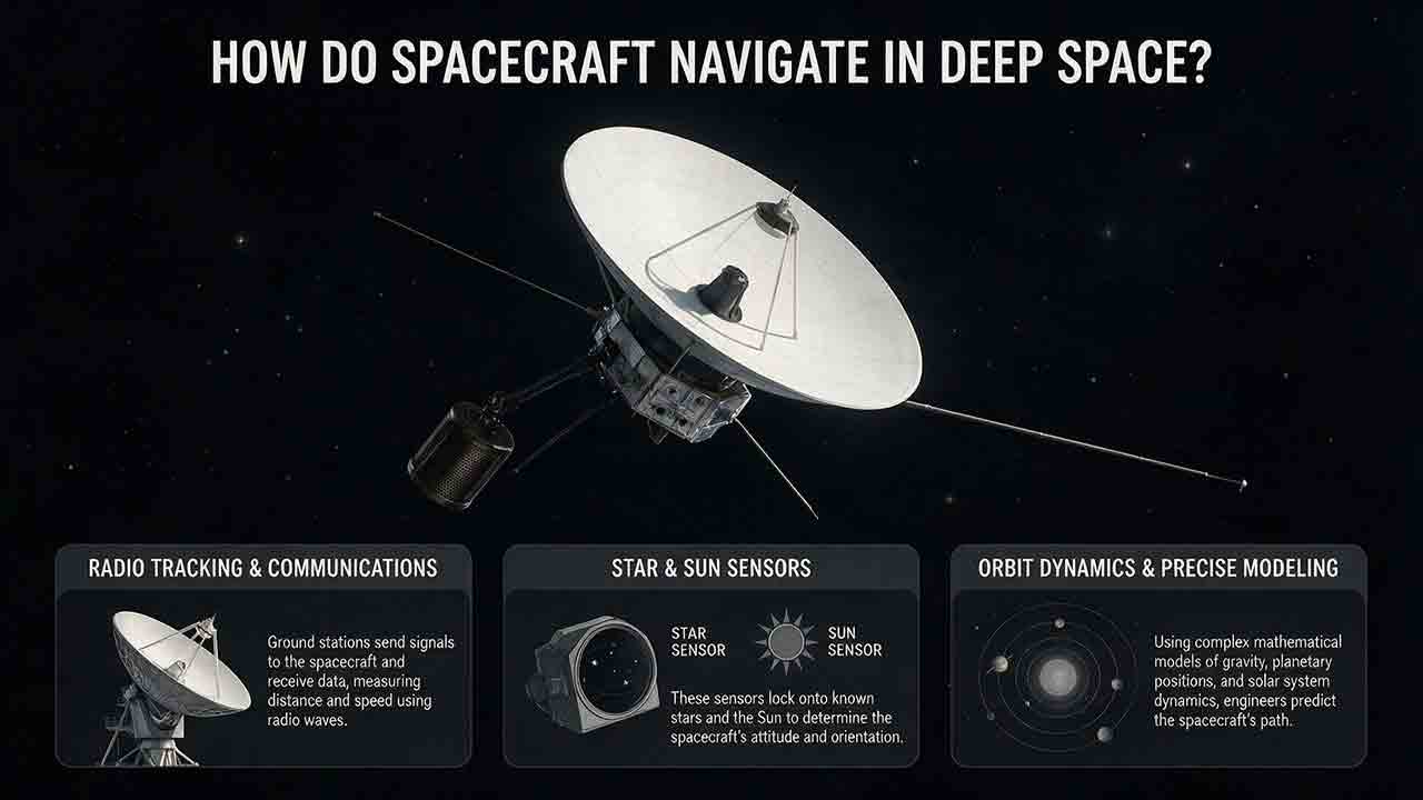
How Do Spacecraft Navigate in Deep Space?
Source basis: Public NASA, JPL, and ESA technical documentation
Spacecraft navigate in deep space by comparing a predicted trajectory with repeated radio, optical, and onboard measurements. Ground networks measure distance, line-of-sight velocity, and angular direction. Cameras add destination-relative observations, while attitude sensors establish the spacecraft’s pointing direction. Navigation software combines those observations with force models, estimates position and velocity with uncertainty, and determines whether a trajectory correction is needed.
Key Takeaways
- Deep-space navigation is a repeating predict, measure, estimate, and correct process rather than a continuous GPS-style positioning service.
- Radio ranging constrains distance, Doppler tracking constrains line-of-sight velocity, and Delta-DOR provides precise angular information.
- Optical navigation becomes especially valuable near a planet, moon, comet, or asteroid because it measures the spacecraft relative to its destination.
- Star trackers determine spacecraft orientation; they do not normally provide a complete three-dimensional position.
- A small, correctly directed correction made early can substantially change later arrival geometry because its effect accumulates over time.
This guide explains how mission teams determine where a spacecraft is, predict where it is going, quantify uncertainty, diagnose conflicting observations, and correct the trajectory before a critical flyby, orbital insertion, landing, or other encounter.
Who Is This Explanation For?
This article is for readers who want more than the simplified claim that spacecraft “navigate by the stars” but do not need professional training in astrodynamics.
It explains the architecture behind robotic interplanetary navigation. It is not a command procedure for operating a real spacecraft. Real missions use hardware-specific models, validated software, formal authorization processes, and independent reviews before critical maneuvers.
How Do Spacecraft Navigate Without Ordinary GPS?
Deep-space spacecraft usually navigate by measuring their motion relative to Earth, the Sun, known celestial objects, and the destination they are approaching.
NASA describes interplanetary navigation as three connected activities:
- Designing a reference trajectory.
- Determining the spacecraft’s actual trajectory.
- Controlling the flight path through maneuvers when required.
A reference trajectory is a time-dependent prediction of where a spacecraft should be and how fast it should be moving. It also defines expected conditions at important events, such as a flyby altitude, orbital-insertion point, atmospheric-entry corridor, or landing approach.
The reference trajectory is not a physical track that the spacecraft automatically follows. The actual path gradually differs because of launch dispersions, imperfect maneuvers, model uncertainty, solar-radiation pressure, small unplanned accelerations, and uncertainty in the destination’s own position.
Mission teams therefore update the estimated trajectory throughout the flight. NASA explains this relationship among trajectory design, orbit determination, and flight-path control in its Basics of Space Flight navigation chapter.
Why Is GPS Not the Main Interplanetary Navigation System?
GPS was designed primarily for users near Earth. Specialized receivers can detect weak navigation-satellite signals much farther away, but there is no operational GPS-like constellation surrounding Mars, Jupiter, or the space between planets.
NASA and the Italian Space Agency demonstrated an important extension of Global Navigation Satellite System capability in March 2025. The Lunar GNSS Receiver Experiment, or LuGRE, acquired and tracked GPS and Galileo signals on the Moon’s surface and produced a navigation fix at lunar distance.
That achievement showed that specially designed receivers can use weak Earth-based GNSS signals much farther away than ordinary terrestrial equipment. It did not create continuous GPS coverage throughout interplanetary space.
A Mars-bound spacecraft still depends primarily on radiometric tracking, trajectory models, optical observations, onboard sensors, and mission-specific autonomous capabilities.
NASA describes the result in NASA Successfully Acquires GPS Signals on Moon.
What Does a Navigation Team Need to Determine?
A navigation team must estimate the spacecraft’s state: its position and velocity at a specified time in a defined reference frame.
A basic state contains six values:
- Three position coordinates
- Three velocity components
Those values are meaningful only when the coordinate frame and time system are clear. A statement that “the spacecraft is at these coordinates” is incomplete unless the reader also knows what the coordinates are measured relative to and when they apply.
The navigation solution may estimate additional quantities, including:
- Ground-system timing biases
- Spacecraft clock error
- Maneuver magnitude and direction
- Camera alignment error
- Solar-radiation-pressure effects
- Small unplanned accelerations
- Propellant-related disturbances
- Corrections to a target body’s ephemeris
An ephemeris is a time-based prediction of a celestial body’s position and motion.
Why Is Uncertainty as Important as the Estimated Position?
A useful navigation solution includes both a best estimate and a description of uncertainty.
Suppose two solutions predict that a spacecraft will pass 100 kilometers above a moon. The first has a cross-track uncertainty of 2 kilometers. The second has a cross-track uncertainty of 90 kilometers.
The nominal altitude is identical, but the operational situations are very different.
Navigation software commonly represents state uncertainty with a covariance matrix. In position space, that uncertainty can be visualized as an ellipsoid. Its size and orientation change as the spacecraft moves and as new observations arrive.
The ellipsoid is often much longer in one direction because navigation measurements do not observe every component of the spacecraft state equally well.
How Does the Predict–Measure–Estimate–Correct Loop Work?
Deep-space navigation can be understood through the PMEC loop used in this guide:
| Stage | Question being answered | Typical activity |
|---|---|---|
| Predict | Where should the spacecraft be? | Propagate the reference trajectory and calculate expected observations |
| Measure | What did the tracking systems observe? | Collect range, Doppler, Delta-DOR, optical, attitude, and engineering data |
| Estimate | Which trajectory best explains the evidence? | Adjust the state and selected model parameters while examining residuals |
| Correct | Does the future path remain acceptable? | Design, review, execute, and reconstruct a trajectory-correction maneuver |
A post-maneuver observation returns the process to the beginning:
Predict → Measure → Estimate → Correct → Verify → Predict again
This is a conceptual navigation loop developed for this explanation. It is not presented as an official NASA, JPL, or ESA process diagram.
During quiet cruise, the loop may proceed relatively slowly. Near a gravity assist, close flyby, orbital insertion, atmospheric entry, landing, or small-body encounter, navigation activity usually becomes more intensive.
How Does Radio Ranging Measure Distance?
Radio ranging estimates the distance between a ground station and a spacecraft by measuring signal travel time.
A ground antenna transmits a structured ranging signal. The spacecraft’s transponder responds according to the mission’s radio design and sends a corresponding signal back to the ground station. The ground system measures the round-trip delay while accounting for calibrated equipment effects.
A simplified relationship is:
Range ≈ speed of light × corrected round-trip time ÷ 2
The division by two converts the round-trip signal distance into a one-way range.
A Transparent Range Calculation
Assume:
- Measured round-trip time: 1,000.000 seconds
- Combined calibrated equipment delay: 0.002 seconds
- Speed of light: 299,792.458 kilometers per second
The corrected signal time is:
1,000.000 − 0.002 = 999.998 seconds
The simplified range is:
Range ≈ 299,792.458 × 999.998 ÷ 2
Range ≈ 149,895,929 kilometers
This is a scale illustration rather than a complete operational ranging solution.
Real orbit determination may also account for:
- Ground-station motion
- Earth rotation
- Coordinate-frame transformations
- Atmospheric propagation
- Solar-plasma effects
- Relativistic corrections
- Spacecraft transponder behavior
- Calibrated delays within the ground system
A single range measurement also does not provide a complete three-dimensional position. Many possible locations can have the same distance from one ground station.
How Does Doppler Tracking Measure Velocity?
Doppler tracking measures how the received radio frequency differs from the predicted frequency.
When a spacecraft moves toward a receiving station along the line of sight, the received frequency shifts upward. When it moves away, the frequency shifts downward.
The measurement primarily constrains line-of-sight velocity rather than the spacecraft’s complete three-dimensional velocity.
Doppler observations can reveal:
- The effect of a trajectory-correction maneuver
- Acceleration during a planetary flyby
- Motion in orbit around another body
- Differences between predicted and actual motion
- Small unmodeled forces
- Long-term errors in a trajectory model
NASA’s Deep Space Network overview explains how tracking data, including Doppler observations, support spacecraft navigation.
Doppler is especially sensitive in the Earth-spacecraft direction. It does not instantly determine sideways motion across the sky, so navigators combine it with other observables.
How Does Delta-DOR Measure Angular Direction?
Delta-DOR, or Delta Differential One-Way Ranging, provides a precise angular constraint in the plane of the sky.
Two widely separated ground antennas observe the spacecraft’s radio signal and measure the difference in its arrival time. The antennas also observe a nearby quasar whose celestial position is accurately known.
Comparing the spacecraft and quasar observations reduces important common errors. The resulting measurement helps determine the spacecraft’s angular direction relative to a distant radio-reference frame.
ESA explains the operational method in Keeping Track of Spacecraft with Delta-DOR. JPL provides a more technical description in Delta-DOR Technical Specification for the Deep Space Network.
How Does Angular Uncertainty Translate Into Position Scale?
For a small angle:
Cross-track position scale ≈ range × angular uncertainty in radians
Assume:
- Spacecraft range: 150 million kilometers
- Angular uncertainty used for the example: 10 nanoradians
- 10 nanoradians = 0.00000001 radians
Then:
Cross-track position scale ≈ 150,000,000 × 0.00000001
Cross-track position scale ≈ 1.5 kilometers
This is an illustrative conversion, not a universal Delta-DOR performance claim.
Delta-DOR produces an angular constraint rather than an independent three-dimensional position. Orbit-determination software converts that angular information into position knowledge by combining it with range, trajectory dynamics, observation geometry, and other data.
Actual performance depends on station baselines, signal design, observation duration, quasar geometry, atmospheric conditions, solar plasma, clock stability, and calibration.
How Does Optical Navigation Work?
Optical navigation measures where a destination or nearby object appears in spacecraft images.
A navigation camera may observe:
- A planet
- A moon
- A comet nucleus
- An asteroid
- A target spacecraft
- Surface landmarks
- A body’s illuminated limb
Image-processing software determines where the target appears in the camera frame. Star-catalog and camera-pointing information convert that image location into an angular observation that can be used in orbit determination.
JPL’s Spacecraft Optical Navigation technical monograph (PDF) describes methods for locating stars, unresolved targets, resolved bodies, and landmarks in spacecraft images.
Why Does Optical Navigation Become More Valuable Near Arrival?
At great distance, a planet or asteroid may appear as an unresolved point. The image provides a direction but limited direct range information.
As the spacecraft approaches, navigators may be able to measure:
- The center of the apparent disk
- The illuminated limb
- Surface landmarks
- Relative motion among several bodies
- Apparent angular size
- Shape and rotation features
Optical navigation becomes especially useful when the mission needs to know the spacecraft’s position relative to the target.
Earth-based radio tracking may establish the spacecraft’s heliocentric path accurately while uncertainty in the destination’s ephemeris still limits knowledge of the final encounter.
Why Is the Photocenter Not Always the Physical Center?
The image-derived center of light, often called the photocenter, may not coincide with the object’s geometric center or center of mass.
Possible causes include:
- Uneven illumination
- Shadows
- Changing phase angle
- Irregular shape
- Surface reflectivity differences
- Atmospheric haze
- Camera distortion
- Saturated pixels
- Image-processing assumptions
The geometric center and center of mass may also differ, especially for irregular bodies with uneven internal density.
Navigation teams therefore model illumination, target shape, and camera behavior instead of treating every bright object as a perfect circle.
Do Star Trackers Tell a Spacecraft Where It Is?
A star tracker normally determines spacecraft attitude, meaning which direction the vehicle is pointing.
It photographs star patterns and compares them with an onboard catalog. The resulting orientation estimate helps the spacecraft:
- Point an antenna toward Earth
- Aim cameras and science instruments
- Align itself before a maneuver
- Orient solar arrays
- Interpret optical-navigation images
Gyroscopes measure rotational motion between external attitude updates. Because inertial sensors accumulate drift, star trackers or other reference sensors periodically correct the attitude estimate.
NASA describes common attitude sensors and control systems in Guidance, Navigation, and Control.
A star tracker supports navigation by showing where a camera or antenna is pointing. By itself, it does not normally provide the spacecraft’s full position and velocity.
How Does Orbit-Determination Software Combine the Measurements?
Orbit determination finds the spacecraft state and model parameters that best explain the available observations.
A simplified estimation sequence is:
- Begin with a predicted state.
- Propagate that state through a dynamic model.
- Calculate the range, Doppler shift, angular direction, or image location that the model predicts.
- Compare each prediction with the corresponding observation.
- Calculate the residual: observed value minus predicted value.
- Adjust the estimated state and selected model parameters.
- Repeat until the solution converges and residual behavior is acceptable.
- Propagate the updated solution to future mission events.
- Evaluate the predicted event conditions and uncertainty.
A residual is not automatically evidence of a faulty sensor. It can reflect an incorrect state estimate, a missing force, a timing bias, a maneuver discrepancy, a camera-calibration issue, or another modeling problem.
Batch least-squares estimation and sequential filtering are two broad approaches used for navigation. The implementation depends on the mission, available data, computing capability, required autonomy, and consequences of failure.
What Does Each Measurement Contribute?
| Measurement | Strongest contribution | Important limitation |
|---|---|---|
| Two-way range | Ground-station-to-spacecraft distance along the modeled signal path | Weak direct information about sideways motion |
| Doppler | Line-of-sight velocity | Does not instantly provide complete three-dimensional velocity |
| Delta-DOR | Plane-of-sky angular direction | Requires coordinated stations, suitable source geometry, and calibration |
| Optical navigation | Direction relative to a target or landmark | Sensitive to illumination, camera calibration, and target modeling |
| Star tracker | Spacecraft attitude | Does not normally determine absolute position |
| Gyroscope | Short-term rotational motion | Accumulates drift without external correction |
| Accelerometer, where installed | Non-gravitational acceleration | Bias and integration errors can accumulate |
| Maneuver telemetry | Propulsion timing and hardware behavior | Does not replace post-maneuver trajectory reconstruction |
| Dynamic model | Motion between observations | Accuracy depends on included forces and estimated parameters |
Why Is Deep-Space Navigation an Observability Problem?
A navigation system is not strong merely because one measurement is extremely precise. It is strong when its combined measurements constrain every mission-critical part of the spacecraft state and can expose one another’s biases.
Range can be precise while cross-track uncertainty remains large. Attitude can be precise while position remains uncertain. A highly accurate Earth-relative trajectory may still leave a poorly known target-relative encounter if the destination’s ephemeris is uncertain.
The more useful engineering question is therefore not:
Which sensor is the most accurate?
It is:
Which part of the spacecraft state or encounter geometry is still weakly observed?
This “weakest-observed direction” test is an editorial framework used in this guide. It helps explain why deep-space missions combine radio, optical, inertial, and dynamic information rather than selecting one supposedly best sensor.
A Practical Observability Check
When comparing navigation options, ask:
- Does the measurement constrain distance, velocity, angle, attitude, or a combination?
- Which direction remains poorly known after the measurement?
- Does the observation locate the spacecraft relative to Earth or relative to the destination?
- Can another data type expose a shared timing, pointing, or model bias?
- Will the measurement still be available during the mission’s critical phase?
This check is often more useful than comparing one headline accuracy number.
What Forces Must the Trajectory Model Include?
A deep-space trajectory model normally begins with the gravitational influence of the Sun, planets, and relevant moons.
Depending on the mission and flight phase, it may also include:
- Nonspherical planetary gravity
- Irregular small-body gravity
- Solar-radiation pressure
- Atmospheric drag
- Planned propulsion
- Attitude-control thruster firings
- Propellant venting or leakage
- Thermal-radiation recoil
- Tidal effects
- Relativistic corrections
- Uncertainty in planetary or small-body ephemerides
Not every force matters equally during every phase.
Solar-radiation pressure may be important during interplanetary cruise. Detailed gravity harmonics may dominate in low planetary orbit. Irregular shape, rotation, and weak gravity may become central near an asteroid.
The goal is not to make the model infinitely complicated. The goal is to include effects that are large enough to influence the mission’s required accuracy.
How Is a Trajectory-Correction Maneuver Designed?
A trajectory-correction maneuver, or TCM, changes the spacecraft’s velocity so its future path better satisfies mission requirements.
A high-level sequence is:
- Determine the current best-estimate trajectory.
- Propagate it to the critical event.
- Compare the predicted conditions with the target requirements.
- Calculate candidate velocity changes.
- Evaluate propellant, timing, attitude, communications, thermal, and fault-protection constraints.
- Select and independently verify the maneuver.
- Validate the command sequence.
- Uplink the approved commands.
- Execute the maneuver.
- Collect post-maneuver tracking and reconstruct actual performance.
This sequence explains the operational logic. Actual maneuver development uses mission-specific software, formal authorization, independent checks, and validated hardware limits.
Why Can a Small Early Correction Matter So Much?
A small, correctly directed velocity change has time to alter the future position.
For a simple scale estimate:
Position-change scale ≈ velocity change × elapsed time
Assume:
- Velocity change: 0.01 meter per second
- Time before encounter: 30 days
- 30 days = 2,592,000 seconds
Then:
Position-change scale ≈ 0.01 × 2,592,000
Position-change scale ≈ 25,920 meters, or 25.9 kilometers
The true effect on an encounter depends strongly on the maneuver direction, trajectory geometry, gravitational dynamics, and execution accuracy.
This calculation demonstrates elapsed-time leverage. It is not a universal conversion between a velocity correction and final miss distance.
Does a Spacecraft Steer Continuously Toward Its Destination?
Usually not.
During much of an interplanetary cruise, the spacecraft follows an orbit around the Sun with its main propulsion system inactive.
It may change attitude for communications, thermal management, solar-array pointing, or science observations. A pointing change does not necessarily produce a significant change in the mission trajectory.
Navigation teams periodically determine whether the future path remains inside an acceptable target region. A maneuver is performed when its expected benefit justifies the propellant use, operational complexity, and execution risk.
Deep-space navigation is therefore closer to making carefully timed corrections than continuously steering a vehicle along a visible road.
How Does Communication Delay Change Mission Operations?
Deep-space navigation must be predictive because radio signals travel at the speed of light rather than instantaneously.
At an illustrative distance of 150 million kilometers:
One-way light time ≈ 150,000,000 ÷ 299,792.458
One-way light time ≈ 500.35 seconds
That is approximately:
8.34 minutes one way
A signal traveling to the spacecraft and back would require approximately:
16.68 minutes round trip
Those figures exclude onboard processing, ground processing, decision-making, command generation, verification, and uplink scheduling.
A mission team cannot joystick a distant spacecraft through a rapidly changing encounter. Critical sequences must be loaded in advance, handled by onboard guidance, or managed through a combination of preplanned commands and authorized autonomous responses.
Which Navigation Methods Matter Most During Each Mission Phase?
No single measurement is best throughout an entire mission.
| Mission phase | Commonly valuable inputs | Why they matter |
|---|---|---|
| Early cruise | Range and Doppler | Establish the post-launch trajectory and reconstruct launch dispersions |
| Long interplanetary cruise | Periodic radio tracking and trajectory propagation | Maintain knowledge efficiently while the path changes gradually |
| Gravity-assist approach | Range, Doppler, Delta-DOR, and optical navigation | Cross-track error and flyby altitude can strongly affect the outgoing trajectory |
| Planetary orbit insertion | Radio tracking, inertial information where available, and maneuver telemetry | Reconstruct the insertion maneuver and confirm the achieved orbit |
| Small-body approach | Optical navigation and target-relative observations | Target ephemeris, irregular shape, and weak gravity may dominate uncertainty |
| Close-proximity operations | Landmark tracking, optical flow, and lidar or radar where equipped | Relative position and collision avoidance become critical |
| Entry, descent, or landing | Onboard optical, radar, inertial, or hazard-relative sensing for missions designed to use them | Communication delay may make real-time ground control impossible |
| Safe mode | Coarse Sun sensors, gyros, and conservative onboard logic; star trackers where available and permitted | Immediate priorities are survival, stable attitude, power, and communications recovery |
The appropriate architecture depends on the destination, mission phase, communication delay, ground-network availability, autonomy requirements, and consequences of error.
Can Spacecraft Navigate Autonomously?
Some spacecraft can perform selected navigation functions onboard, but autonomy is not an all-or-nothing capability.
An autonomous system may be authorized to:
- Process images
- Identify stars or destination bodies
- Estimate position and velocity
- Propagate a trajectory
- Monitor navigation uncertainty
- Recommend or select a guidance update
- Modify a preapproved maneuver
- Control a time-critical terminal encounter
A spacecraft may estimate its own state autonomously while still requiring ground approval before changing its trajectory.
What Did Deep Space 1 Demonstrate?
Deep Space 1 became an early operational demonstration of onboard optical navigation, trajectory estimation, and propulsion-plan adjustment.
Its AutoNav software observed celestial targets against background stars and used those observations to estimate the spacecraft’s trajectory. The system could then adjust planned ion-propulsion activity within its designed authority.
JPL describes the system in Deep Space 1: Autonomous Navigation.
The mission illustrates three distinct levels of autonomy:
- Sensing autonomy: obtaining navigation observations onboard.
- Estimation autonomy: calculating an onboard state solution.
- Control autonomy: changing guidance or propulsion behavior based on that solution.
A mission can support one level without granting the spacecraft all three.
How Could Better Onboard Clocks Help?
Traditional two-way radio tracking depends on a ground station transmitting a signal and later receiving its return.
A sufficiently stable onboard atomic clock can support accurate one-way radio measurements. The spacecraft can compare an incoming signal with its onboard time reference rather than relying entirely on a complete ground-spacecraft-ground exchange.
NASA’s completed Deep Space Atomic Clock mission tested a compact mercury-ion atomic clock as a technology for future navigation, radio science, and more autonomous operations.
A precision clock is not a complete navigation system. It must still be combined with signal timing, trajectory dynamics, ephemerides, estimation software, and other observations.
Could Pulsars Become Navigation Beacons?
X-ray pulsar navigation uses predictable pulses from rapidly rotating neutron stars as natural timing references.
NASA’s SEXTANT experiment completed an autonomous in-space X-ray pulsar-navigation demonstration in 2017. The system compared observed pulse arrival patterns with predicted timing models to estimate position.
NASA documents the demonstration in SEXTANT X-Ray Pulsar Navigation Demonstration: Additional On-Orbit Results.
Pulsar navigation remains a specialized technology-development field. It has not replaced conventional radio tracking as the primary navigation method for most interplanetary spacecraft.
What Six Questions Shape a Navigation Architecture?
A navigation design can be tested with six practical questions.
1. Which Position Matters Most?
The mission may need position relative to:
- Earth
- The Sun
- A destination planet
- A moon or asteroid
- A landing site
- Another spacecraft
The answer determines which measurements are most valuable.
2. Which Direction Is Weakly Observed?
Range and Doppler strongly constrain motion along the Earth-spacecraft line. Sideways motion may require Delta-DOR, changing station geometry, or optical observations.
The architecture should be designed around the weakest important direction, not only the most precise measurement.
3. How Quickly Does the Geometry Change?
A cruise trajectory may evolve slowly enough for periodic ground solutions.
A low-altitude flyby, impact, landing, or asteroid encounter may require rapid onboard updates because the useful decision window can be shorter than the communication delay.
4. How Long Is the Communication Delay?
Increasing delay raises the value of onboard fault detection, state estimation, event sequencing, and preapproved response logic.
It does not automatically justify unrestricted autonomous control.
5. What Happens If the Estimate Is Wrong?
A large uncertainty may be acceptable during quiet cruise but unacceptable before:
- Atmospheric entry
- Orbit insertion
- A narrow gravity-assist corridor
- A landing
- Close-proximity operations
- An intentional impact
Navigation accuracy must be connected to mission consequences.
6. Which Independent Observation Can Reveal a Bias?
A robust architecture uses measurements that can expose one another’s weaknesses.
Examples include:
- Checking radio tracking against optical images
- Comparing maneuver telemetry with post-burn Doppler
- Comparing star-tracker attitude with Sun-sensor information
- Comparing a target-center measurement with landmark observations
- Processing critical data through independent navigation solutions
Redundancy is most valuable when the second method can fail differently from the first.
How Are Common Navigation Problems Diagnosed?
| Observed behavior | Plausible causes | Typical investigation |
|---|---|---|
| Range residuals grow steadily | Incorrect initial state, timing bias, unmodeled acceleration, or maneuver error | Reprocess recent tracking and estimate additional parameters |
| Doppler changes unexpectedly after a maneuver | Thrust magnitude, direction, duration, or spacecraft mass differed from the model | Reconstruct the maneuver using telemetry and post-burn tracking |
| Range fits but the target-relative approach remains uncertain | Weak plane-of-sky geometry or uncertain target ephemeris | Add Delta-DOR or optical-navigation observations |
| Optical images disagree with radio tracking | Camera alignment, pointing bias, lighting effects, or target-model error | Recalibrate the images and compare alternate center-finding methods |
| Attitude is well known but position remains uncertain | Orientation information has been mistaken for trajectory information | Acquire observations that directly constrain position and velocity |
| Several data types show the same unexplained trend | Missing force, common timing error, or reference-frame problem | Test alternative dynamic models and shared bias parameters |
| Uncertainty grows during a tracking gap | Natural propagation of state uncertainty | Resume observations or use an approved onboard capability |
| Post-maneuver state differs more than expected | Maneuver-execution uncertainty was underestimated | Update the maneuver model and downstream correction strategy |
Residuals do not automatically identify one cause. Engineers compare patterns across measurement types, stations, time periods, spacecraft modes, and known events before changing the navigation model.
Confusing Attitude With Position
Knowing where a spacecraft is pointing does not reveal its complete position and velocity.
Treating One Range Measurement as a 3D Location
Range constrains distance along a signal path. Additional observations and changing geometry are needed to determine the complete trajectory.
Treating Navigation, Guidance, and Control as the Same Function
The three functions are connected but distinct:
- Navigation estimates where the spacecraft is and how it is moving.
- Guidance determines where it should go and what change is needed.
- Control commands the hardware that carries out the change.
Looking Only at the Nominal Arrival Point
A predicted flyby altitude or landing point must be interpreted together with its uncertainty.
Assuming the Most Precise Sensor Solves Everything
A measurement can be extremely precise in one direction while leaving another direction weakly observed.
Delaying Every Correction Until Final Approach
Early corrections often provide more time for a small velocity change to alter the encounter. Late corrections may require more propellant and leave less time for verification or recovery.
What Questions Should a Deep-Space Navigation Plan Address?
Not every mission uses the same sensors, propulsion system, autonomy level, or target geometry. However, a navigation plan should address the questions relevant to its design:
- Is the reference trajectory defined in an unambiguous coordinate frame and time system?
- Which observations constrain range, radial velocity, and plane-of-sky direction?
- How accurately is the destination’s own ephemeris known?
- Are tracking-station geometry and scheduling sufficient near critical events?
- Are clocks, transponders, cameras, and ground-system delays calibrated?
- Can the system reconstruct an imperfect maneuver?
- Are enough correction opportunities available before arrival?
- Is the propellant reserve compatible with navigation uncertainty?
- Can the spacecraft maintain attitude knowledge during tracking gaps?
- Which navigation functions must operate onboard?
- What happens if an optical target is not detected?
- What happens if a critical ground pass is lost?
- Can independent measurements reveal a common modeling error?
- Does safe mode preserve power, stable attitude, and a path to communications recovery?
- Are critical maneuver products independently checked before uplink?
How Does the Complete Navigation System Fit Together?
Deep-space navigation works because several imperfect forms of evidence are combined.
Radio ranging constrains distance. Doppler constrains line-of-sight velocity. Delta-DOR improves angular knowledge. Optical navigation connects the spacecraft’s path to a destination or landmark. Star trackers and gyroscopes establish orientation. Dynamic models predict motion between observations.
Orbit-determination software combines those inputs and produces both a best-estimate trajectory and an uncertainty description.
The mission team—or an authorized autonomous system—then asks whether the predicted encounter still satisfies mission requirements. If it does not, a carefully reviewed change in velocity reshapes the future path.
The central principle is not that a spacecraft always knows exactly where it is. It is that the navigation system repeatedly reduces uncertainty until the remaining risk is compatible with the mission.
Frequently Asked Questions
Can a spacecraft use GPS on the way to Mars?
Not as an ordinary primary navigation service. Specialized receivers have used GPS and Galileo signals at lunar distances, including during the 2025 LuGRE demonstration on the Moon’s surface. That does not mean Earth’s navigation constellations provide continuous coverage throughout an interplanetary flight.
Mars-bound spacecraft primarily use radio tracking, trajectory models, optical observations, onboard sensors, and mission-specific autonomous functions.
How often does a spacecraft make trajectory corrections?
There is no universal schedule. The timing depends on launch accuracy, accumulated uncertainty, mission phase, target geometry, propellant strategy, tracking availability, and operational risk.
Mission plans usually preserve several correction opportunities instead of depending on one final maneuver.
Can a spacecraft continue navigating after losing contact with Earth?
It may continue propagating a stored trajectory and maintaining attitude with onboard sensors.
A more autonomous spacecraft may also process images or radio measurements and update its state estimate. Whether it can alter its trajectory depends on its hardware, validated software, mission rules, and granted authority.
Why are radio tracking and optical navigation both useful?
Radio tracking provides strong Earth-relative range and line-of-sight velocity information. Optical navigation supplies angular or landmark-relative information connected to the destination.
Combining them improves measurement geometry and helps separate spacecraft-trajectory uncertainty from uncertainty in the target’s position.
How Accurate Is Deep-Space Navigation?
There is no single accuracy figure.
Accuracy depends on distance, tracking geometry, signal quality, target ephemeris, observation duration, camera calibration, force modeling, mission phase, confidence level, and which direction of uncertainty matters.
A meaningful accuracy statement must identify the reference frame, predicted event, uncertainty direction, and statistical confidence.
Is Pulsar Navigation Replacing the Deep Space Network?
No. X-ray pulsar navigation has been demonstrated as an autonomous technology, but conventional radio tracking remains central to most interplanetary missions.
Pulsar navigation is better understood as a potential complementary capability than as a universal replacement for the Deep Space Network.
Sources
NASA Science. Chapter 13: Navigation — Basics of Space Flight. Reference trajectories, orbit determination, radio measurements, optical navigation, and flight-path control. Accessed August 1, 2026.
NASA Science. Chapter 18: Deep Space Network — Basics of Space Flight. Deep Space Network tracking, ranging, Doppler processing, and navigation support. Accessed August 1, 2026.
NASA Jet Propulsion Laboratory. Radiometric Tracking Techniques for Deep-Space Navigation — Technical Monograph (PDF). Technical treatment of deep-space radio tracking and orbit determination. Accessed August 1, 2026.
NASA Jet Propulsion Laboratory. Spacecraft Optical Navigation — Technical Monograph (PDF). Camera geometry, star measurements, resolved and unresolved targets, and landmark observations. Accessed August 1, 2026.
NASA Jet Propulsion Laboratory. Delta-DOR Technical Specification for the Deep Space Network. Delta-DOR measurement principles and development. Accessed August 1, 2026.
European Space Agency. Keeping Track of Spacecraft with Delta-DOR. Operational explanation of two-station spacecraft and quasar observations. Accessed August 1, 2026.
NASA Jet Propulsion Laboratory. Deep Space 1: Autonomous Navigation. AutoNav imaging, onboard trajectory estimation, and propulsion-plan adjustment. Accessed August 1, 2026.
NASA. Deep Space Atomic Clock. Precision timing and its potential role in one-way and more autonomous navigation. Accessed August 1, 2026.
NASA Technical Reports Server. SEXTANT X-Ray Pulsar Navigation Demonstration: Additional On-Orbit Results. Autonomous in-space X-ray pulsar-navigation demonstration. Accessed August 1, 2026.
NASA. NASA Successfully Acquires GPS Signals on Moon. LuGRE’s March 2025 acquisition, tracking, and use of GNSS signals on the lunar surface. Accessed August 1, 2026.
NASA Small Spacecraft Systems Virtual Institute. Guidance, Navigation, and Control. Attitude sensors, actuators, navigation technologies, and onboard control systems. Accessed August 1, 2026.
European Space Agency. Deep Space Communication and Navigation. Deep-space ground networks and future mission-support requirements. Accessed August 1, 2026.
Editorial Approach
This article was developed from public NASA, JPL, NASA Technical Reports Server, and ESA documentation.
The technical material has been paraphrased and organized around the Predict–Measure–Estimate–Correct framework used in this guide. The “weakest-observed direction” discussion is an editorial engineering explanation intended to connect the measurement methods into one practical decision principle.
The numerical examples were calculated specifically for this article from the assumptions shown beside them. They illustrate physical scale and measurement relationships rather than the performance of a particular spacecraft, ground station, sensor, or mission.
The article has not been presented as having received external professional or agency review.
More from Mission Operations & Exploration
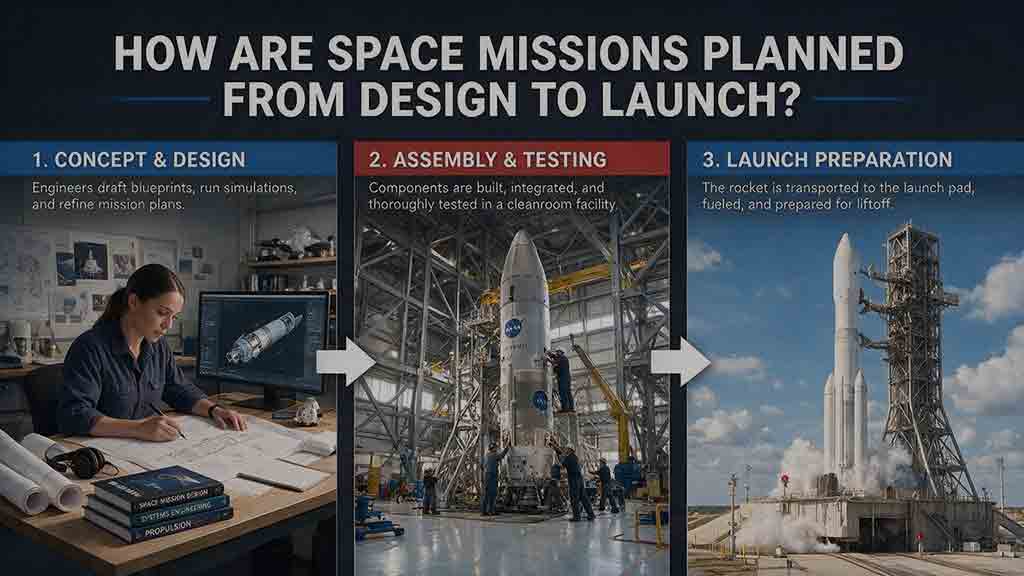
How Are Space Missions Planned From Design to Launch?
Space missions are planned by transforming a scientific, commercial, or exploration goal into a complete system that can be designed, built, tested, launched, operated, and responsibly concluded. This guide follows the full planning lifecycle, from defining measurable objectives and comparing mission concepts to writing requirements, selecting an architecture, managing resource budgets, and controlling interfaces. It explains how payloads, spacecraft platforms, trajectories, launch services, software, ground systems, regulations, and operations must be developed together. Readers will also learn how design reviews, fabrication, environmental testing, end-to-end verification, operator training, licensing, launch integration, and readiness assessments support mission development. Original planning frameworks, worked mass, power, and data calculations, troubleshooting guidance, and a practical checklist show how teams identify weak assumptions and resolve designs that do not close. The central lesson is that mission readiness depends on the entire technical and operational system—not merely on completing the spacecraft.
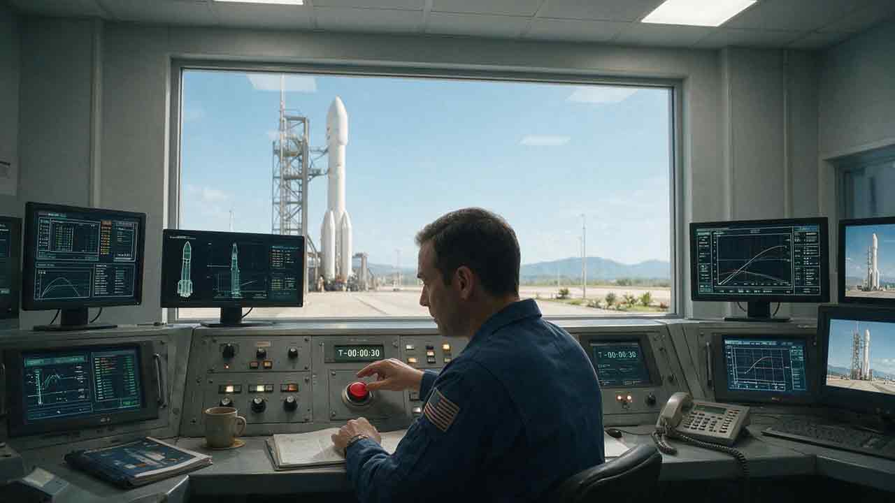
What Happens During a Rocket Launch Countdown?
A rocket launch countdown is far more than a clock running toward zero. It is a carefully coordinated process that brings the launch vehicle, spacecraft, ground equipment, flight teams, weather conditions, and safety range into an approved configuration for liftoff. This article explains the major countdown phases, including launch-pad preparation, propellant loading, avionics and navigation checks, weather monitoring, range clearance, go/no-go polls, and terminal count. It also clarifies commonly misunderstood terms such as T-minus, L-minus, planned hold, recycle, scrub, and launch window. An original Four-C Countdown Framework—Clock, Configuration, Constraint, and Commitment—helps readers understand why teams may continue, pause, return to an earlier step, or cancel a launch attempt. Practical timelines, comparison tables, a launch-window calculation, and a viewer’s checklist make the article useful for students, educators, first-time launch viewers, and spaceflight enthusiasts.
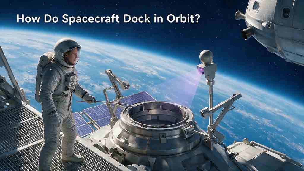
How Do Spacecraft Dock in Orbit?
Spacecraft docking is a carefully controlled process that begins long before two vehicles make physical contact. The approaching spacecraft must first establish compatible orbital geometry, adjust its timing through phasing maneuvers, and reduce differences in position, velocity, and orientation. This guide explains the complete sequence from far-field rendezvous and relative navigation to hold points, final approach, soft capture, and hard capture. It also compares docking with robotic berthing, examines the sensors and control systems used during an approach, and shows how mission teams respond when navigation data, closing rates, or alignment fall outside permitted limits. A simplified orbital calculation demonstrates why a spacecraft in a slightly lower orbit can gradually catch its target. Readers will also find an original five-match framework, a practical docking-safety model, real mission examples, and a checklist for evaluating docking plans. The article clearly distinguishes educational principles from vehicle-specific flight procedures and engineering requirements.
Explore More Topics
How Do Spacecraft Return Safely Through Earth’s Atmosphere?
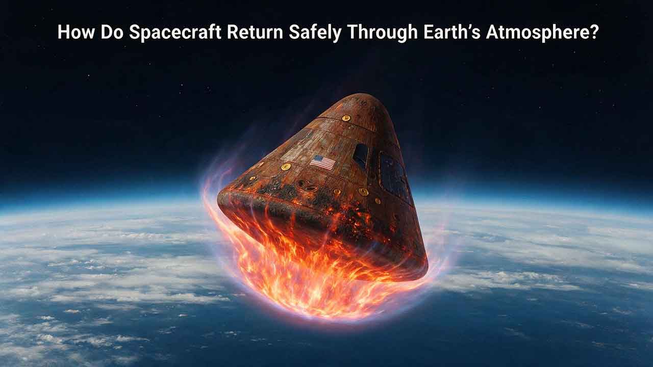
Spacecraft return safely through Earth’s atmosphere by managing an enormous amount of energy through a carefully coordinated sequence of trajectory control, thermal protection, aerodynamic deceleration, landing, and recovery. This article explains how deorbit burns and entry corridors guide a spacecraft toward its landing region, why blunt heat shields reduce the danger of hypersonic heating, and how guidance systems control attitude, range, and structural loads. It includes an original comparison of low-Earth-orbit and lunar-return energy, a practical review of ablative and reusable heat-shield technologies, and the CosmoBasics Four-Layer Reentry Framework covering path, protection, control, descent, and recovery. Real-world lessons from Artemis I and the crewed Artemis II mission show why postflight inspection remains essential even after a successful splashdown. Readers will also learn how parachutes, wings, landing rockets, flotation systems, and recovery teams complete the return safely.
How Do Astronauts Sleep, Eat, and Exercise in Space?
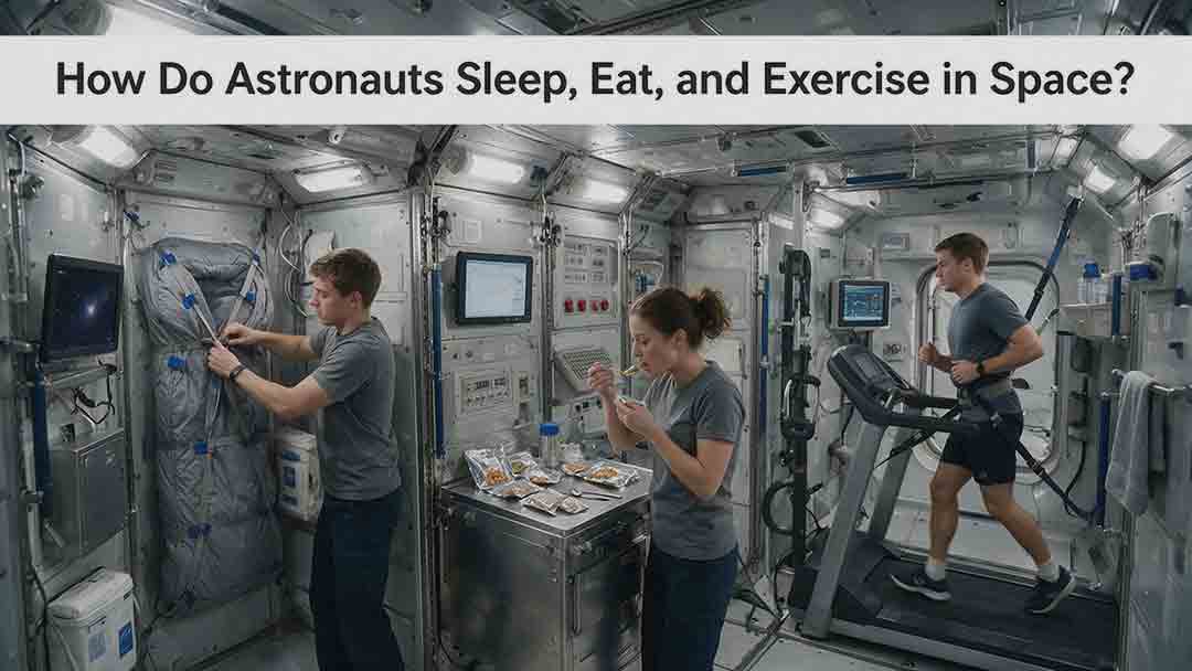
Astronauts must redesign ordinary routines when they live in microgravity. This article explains how crew members sleep in secured bags inside ventilated quarters, prepare packaged meals without letting food or liquids drift through the cabin, and use specialized exercise equipment to protect their physical condition. It examines the roles of the Advanced Resistive Exercise Device, the T2 treadmill, and the CEVIS cycle ergometer, while clarifying the difference between active workout time and the full scheduled exercise period. Readers will also learn why tortillas are practical in space, how airflow affects sleep, why ordinary weights do not work normally in orbit, and how nutrition, rest, and exercise support one another. NASA and ESA sources provide the factual foundation, while original comparison tables and practical evaluation frameworks show how spacecraft systems replace functions normally supplied by gravity. The article also distinguishes current International Space Station practices from possible future Moon and Mars mission requirements.
What Happens to the Human Body in Microgravity?
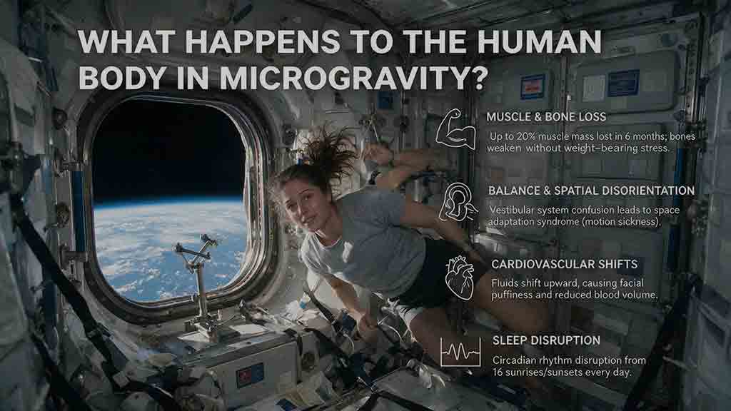
Microgravity changes the human body because fluids are no longer pulled toward the legs, muscles and bones receive less mechanical loading, and the brain loses gravity as a dependable orientation signal. This article explains how weightlessness affects balance, circulation, muscle strength, bone density, vision, blood, immunity, digestion, sleep, and spinal length. It also examines why astronauts may struggle to stand or walk after landing and how exercise, nutrition, monitoring, and rehabilitation help reduce these risks. Two original tools—the Load–Flow–Orientation Framework and the Gravity-Transition Readiness Matrix—connect physiological changes with real mission demands. Drawing on NASA standards, NASA technical reports, ESA materials, and peer-reviewed human spaceflight research, the guide clearly separates established observations from experimental countermeasures and unresolved questions. It also explains what these effects could mean for future missions to the Moon and Mars without treating population averages as predictions for individual astronauts.